GNSS RTK Receivers for Surveying
Surveying
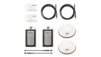
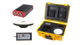
Surveying is an early adopter of GNSS technology. With centimeter-level accuracy provided by real time kinematic (RTK) positioning, high-precision position can be acquired anytime, anywhere, and in any weather conditions. Surveyors in the field can easily access immediate three-dimensional coordinates, which greatly reduces their workload and improves their efficiency.
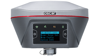
With internal centimeter-accuracy OEM boards and a deep understanding of surveyors’ daily work, Oscar, GNSS RTK survey systems enable surveyors to increase productivity and streamline their workflows from field data collection to office. Oscar can work with Tersus-Survey or Field Genius software seamlessly, which makes surveying, mapping, stakeouts, and COGO easy, freeing surveyors from heavy workloads.
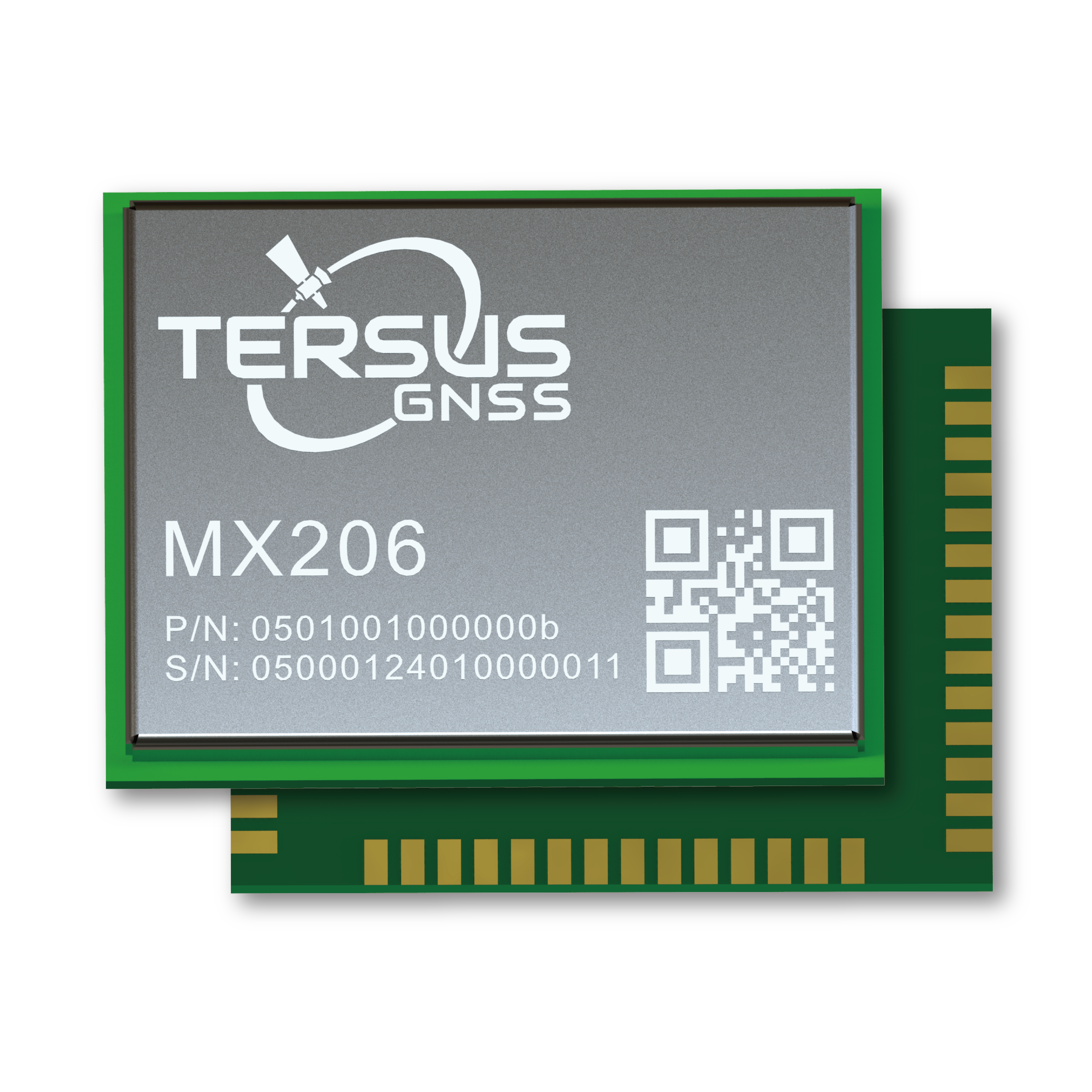
Besides, Tersus provides GNSS OEM boards in a variety of sizes and functions to accommodate the needs of integrators and manufacturers. They are compact, rugged, easy-to-integrate and support multi-constellation and multi-frequency signals, which greatly improve the reliability and continuity of positioning performance in challenging environments.