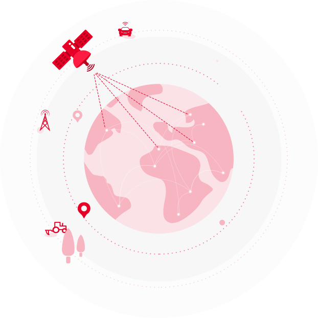
Are there boundaries to GNSS business? The GNSS value chain is composed of space infrastructure (satellites, ground segments, etc.), GNSS-based positioning and navigation components and value-added systems and services. For Tersus, we act as a significant enabler and manufacturer in terms of GNSS receivers, GNSS-specific modules for system integrators and service providers.
Designed for easy use, our product portfolios support multi-GNSS and provide flexible interfaces for a variety of applications: UAVs, surveying, mapping, precision agriculture, lane-level navigation, construction engineering, and deformation monitoring, etc.
Benefit from in-depth insights, operation models and application needs of those downstream industries, we enable our partners create successfully system integration and application based on high-precision GNSS RTK positioning. In a word, we lead traditional operation towards a more intelligent era.


