
Tersus PNW Software
Tersus PreciseNetWork RTK System Management and Positioning Service Software

Tersus PNW software
The Tersus PNW software is a high accurate CORS Network management and positioning service software with optimized algorithms independently developed by Tersus GNSS Inc. The software can effectively model errors caused by ionosphere, troposphere and satellite orbit, and precisely estimate correction at the rover. It enables the rovers to achieve fast real-time positioning with centimeter accuracy. The stability and reliability of TersusPNW software has been approved by maintaining large-scale CORS network.

Features
Documents

User-friendly interface
Supports virtual grid
Supports data stream forwarding
Supports multi-method integrity monitoring
Supports user and mount point configuration
Supports adding, deleting, modification, status checking and data storage for different bases
Supports adding, deleting, modification, status checking and virtual point for subnet
Supports 7X24 hours operation with 99.9% output reliability
-
Datasheet_TersusPNW
Release Date: 2023-02-23 Version:2.1
Related Products
GNSS Smart Antennas
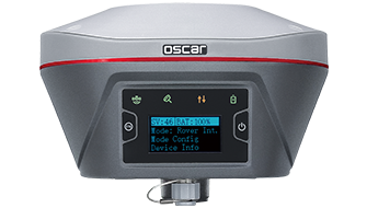
Oscar GNSS Receiver
GNSS Sensors
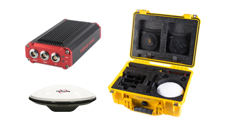
Base Kit Network Mode
GNSS Sensors
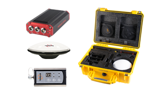
Base Kit with 2W Radio
GNSS Reference Networks
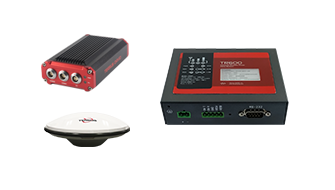
Tersus GeoBee
Sign up for free demo and trial
Sales Inquiry