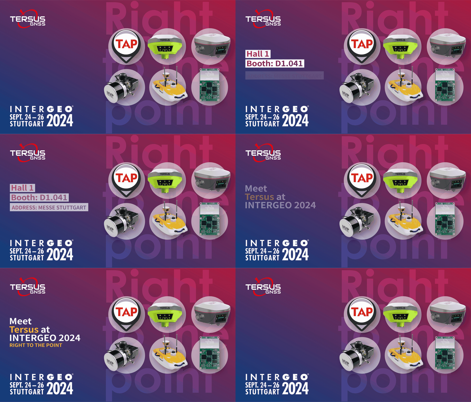
EXHIBITION INVITATION:
Connect with Tersus at INTERGEO2024
SEPT. 24-26, 2024 | Hall 1, MESSE STUTTGART | Booth D1.041

Tersus GNSS Inc. cordially invites you to attend the prestigious INTERGEO 2024 in Stuttgart, Germany. We will showcase the latest precision positioning service, geospatial technology, and LiDAR achievements. This is your valuable chance to grasp the idea of opening the future gateway to effective cutting-edge solutions.
What to Expect at the Booth
Tersus Advanced Positioning (TAP)
A satellite-based precise point positioning service can receive corrections broadcasted by satellites, ensuring 2.5cm accuracy with no need for local RTK base stations or CORS.
Metaverse Painter (MVP)
A mobile mapping system that rapidly captures rich geospatial data when mounted on drones and vehicles. Both models (XT32 and M2X) are designed to meet the modem mapping industry's 3cm point cloud accuracy.
Oscar Trek GNSS Receiver (Trek)
More than just a surveying receiver, it integrates Visual Positioning Technology, GNSS, IMU, and a camera to capture images and measure points in the field or later in the office.
How to Join Us
Are you ready to explore our flagship products and share insights on industry trends with fellow industry professionals? Feel free to reach out if you'd like to speak to experts in advance or have any questions about the presence. Please mark your calendars and join us on any of the three days!
DM "InterGEO2024" to get your Free Tickets here.
See you in Stuttgart!✋
About Tersus GNSS Inc.
Tersus GNSS is a leading Global Navigation Satellite System (GNSS) solution provider. Our offerings and services aim to make centimeter-precision positioning affordable for large-scale deployment.
Founded in 2014, we have been pioneers in design and development GNSS RTK products to better cater to the industry’s needs. Our portfolios cover GNSS RTK & PPK OEM boards, David GNSS Receiver, Oscar GNSS Receiver, MatrixRTK [GNSS CORS Systems] and inertial navigation systems.
Designed for ease of use, our solutions support multi-GNSS and provide flexible interfaces for a variety of applications, such as UAVs, surveying, mapping, precision agriculture, lane-level navigation, construction engineering, and deformation monitoring.
Sales inquiry: sales@tersus-gnss.com
Technical support: support@tersus-gnss.com
