Search
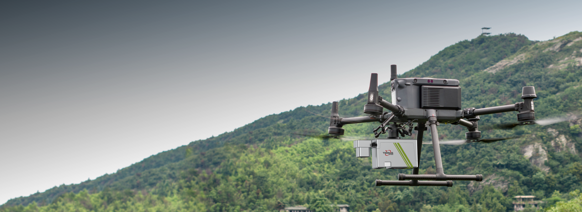
Tersus MVP400 Mobile Mapping System for field positioning applications

MVP400

Deliver survey-grade 3D mapping with exceptional efficiency and centimetre-level precision
Every Point Precise, Every Detail Real

High-Performance Airborne LiDAR Mapping
Tersus MVP400 product feature visual for High-Performance Airborne LiDAR Mapping Tersus MVP400 mobile product feature visual for High-Performance Airborne LiDAR Mapping
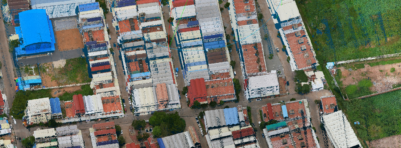

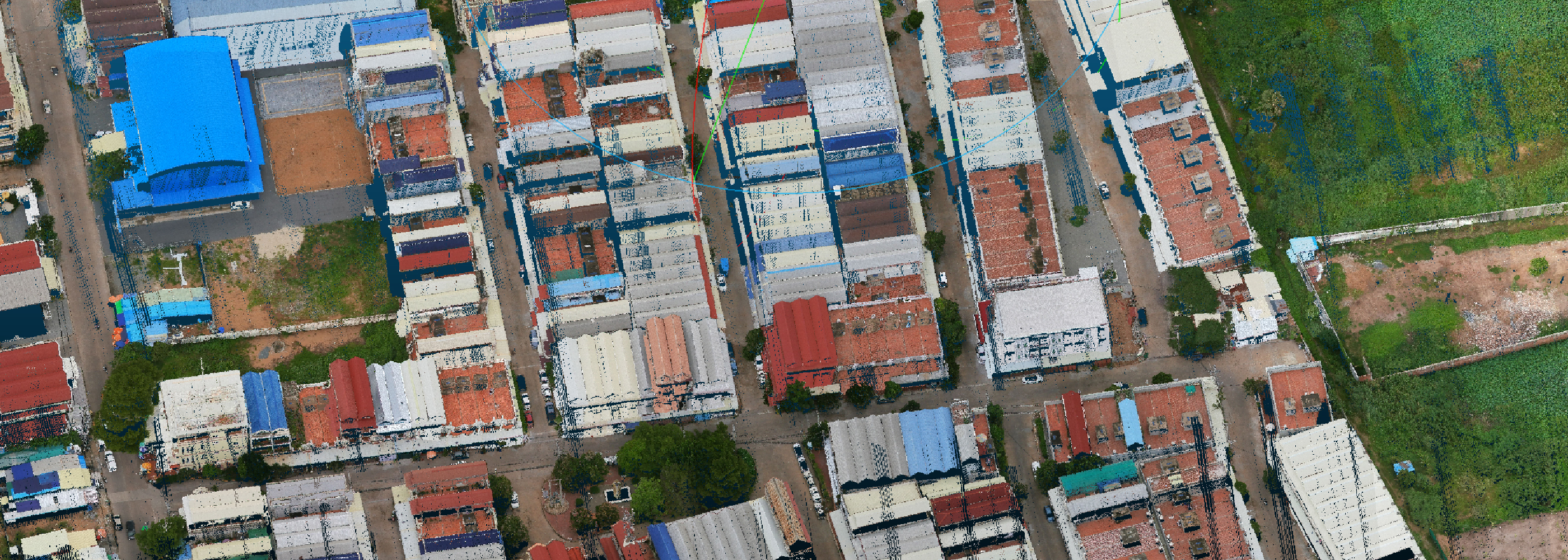
Tersus MVP400 3 cm / 5 cm Accuracy for product feature

3 cm / 5 cm Accuracy

Survey-grade vertical & horizontal accuracy.

Tersus MVP400 1.4 kg Lightweight for product feature

1.4 kg Lightweight

Highly integrated, all-in-one design including camera.

Tersus MVP400 7 Echo Returns for product feature

7 Echo Returns

Exceptional penetration through dense vegetation.

Tersus MVP400 400 m Flight Height for product feature

400 m Flight Height

Efficiently cover large areas with up to 400 m AGL.

Survey-Grade Accuracy

Achieve outstanding system accuracy with 3cm vertical & 5cm horizontal accuracy (@150m AGL), supported by 5mm ranging accuracy.
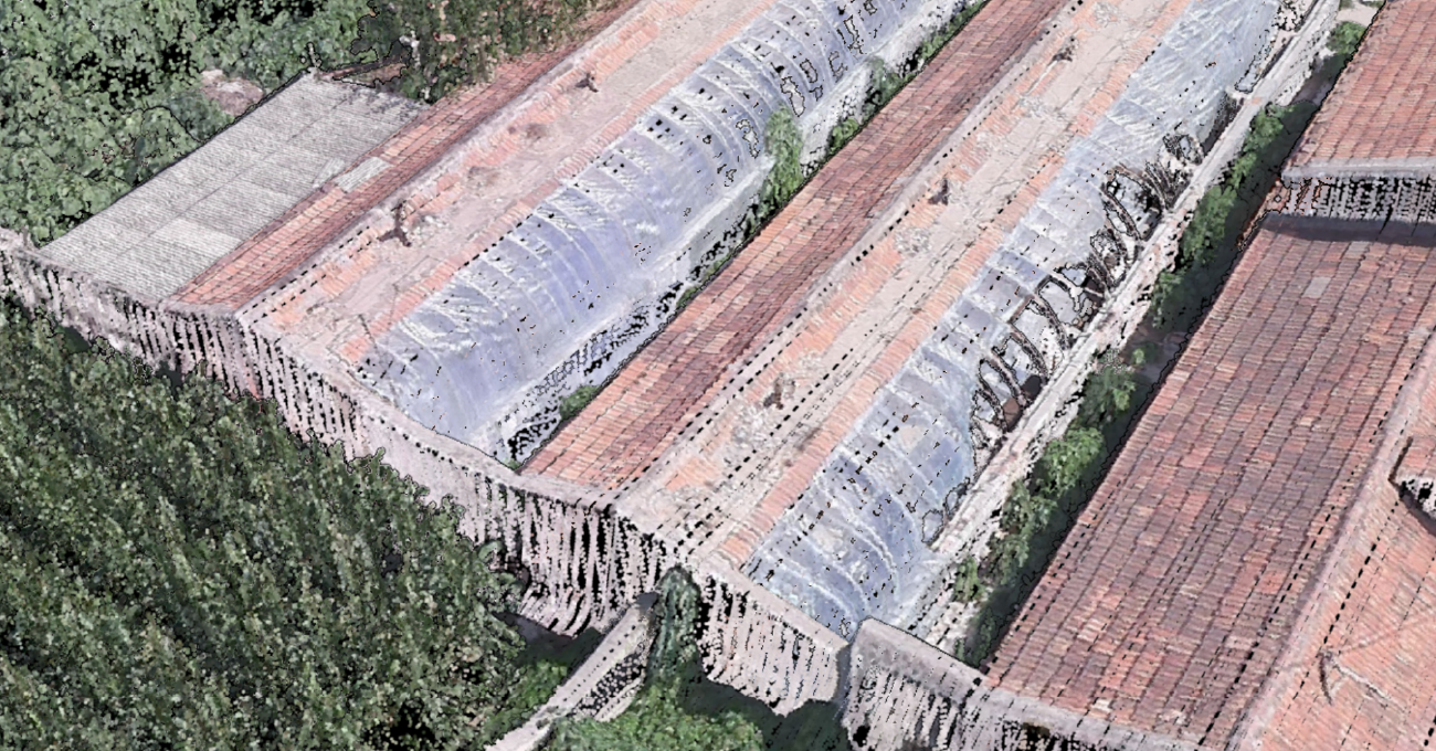
Tersus MVP400 Survey-Grade Accuracy for product technology feature

Exceptional Penetration

Up to 7 echo returns, easily penetrates dense vegetation to acquire ground points.
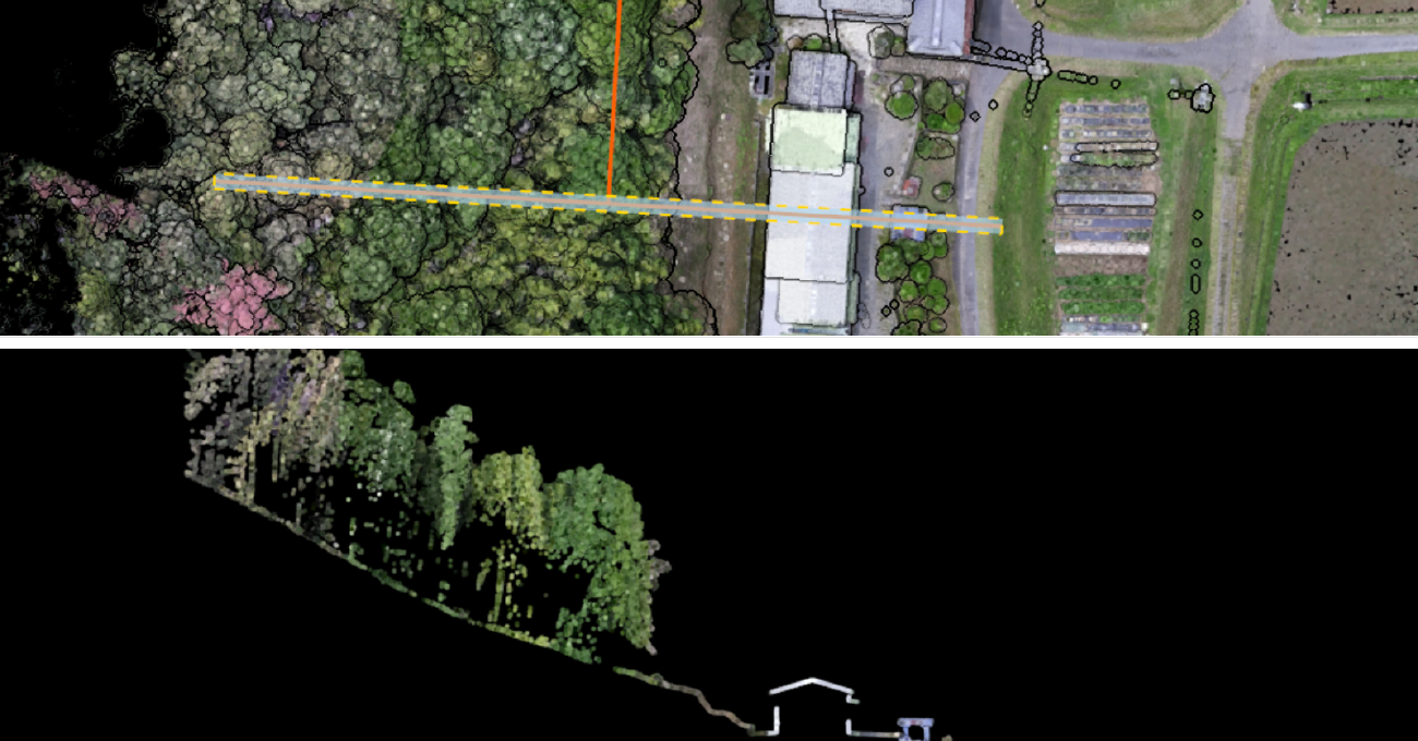
Tersus MVP400 Exceptional Penetration for product technology feature

Lightweight & All-in-One

System weighs only 1.4kg with camera; LiDAR, camera, storage & DJI SkyPort in one unit.
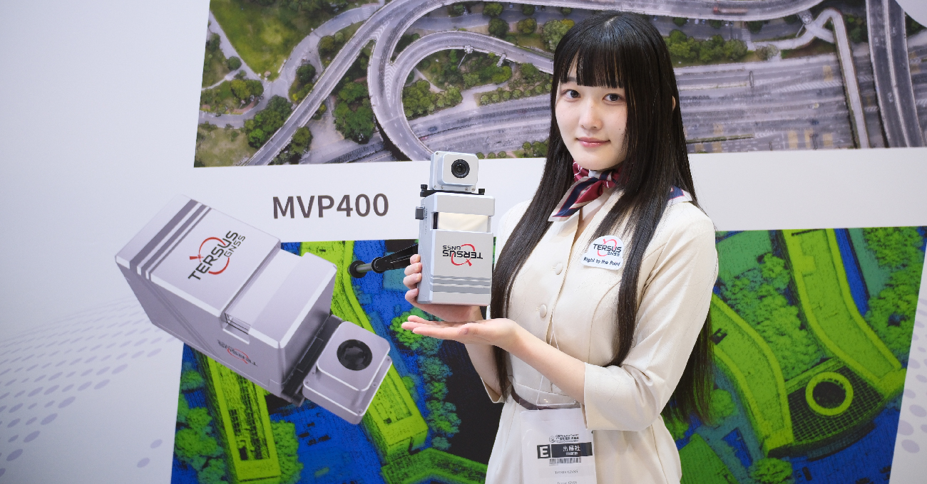
Tersus MVP400 Lightweight & All-in-One for product technology feature

High-Efficiency, Long-Range

Flying height up to 400m, 90° FOV, 300 lines/s scan speed.
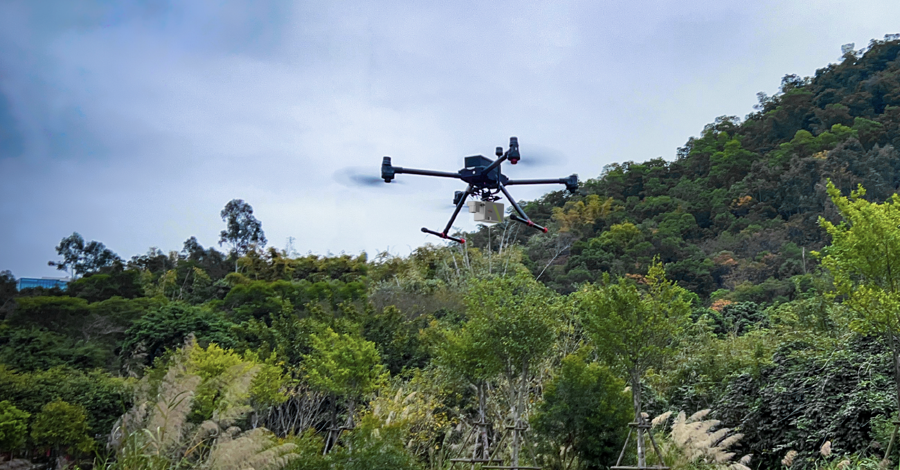
Tersus MVP400 High-Efficiency, Long-Range for product technology feature

Flexible Camera Options

MVP400 with 26MP APS-C;
MVP400 Pro with 45MP Full-Frame + high-precision IMU.
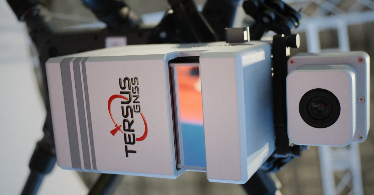
Tersus MVP400 Flexible Camera Options for product technology feature

Ready to Deploy

Fully calibrated; mount via DJI SkyPort on DJI M300/M350, start mission instantly.
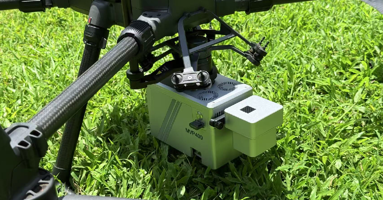
Tersus MVP400 Ready to Deploy for product technology feature
Versatile Applications
Terrain Surveying Road Construction Building Management Forestry Analysis Power Line Inspection

Digital models are commonly used geospatial results generated by LiDAR Mapping System. These products are widely applied in terrain mapping, monitoring and reconstruction.

Tersus MVP400 Terrain Surveying for product parameter view

Extremely precise 3D LiDAR data for purposes like analysis of road infrastructure, locating light poles and traffic signs, new planning and asset management.
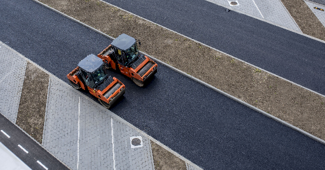
Tersus MVP400 Road Construction for product parameter view

In building construction and infrastructure, MVP offers a detailed and accurate point cloud data for smart city, street mapping and BIM.
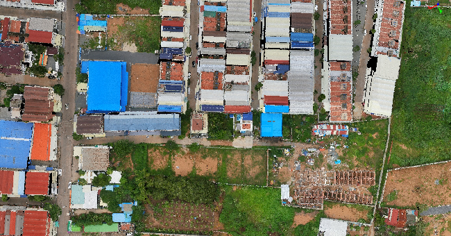
Tersus MVP400 Building Management for product parameter view

Provide detailed information on forest structures, including tree height, diameter, volume, leaf area index, etc. Also efficiently obtain under-tree ground surface information for digital models.
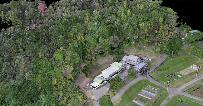
Tersus MVP400 Forestry Analysis for product parameter view

Efficiently acquire dense point clouds for detecting downed power lines, hazardous trees, and other potential hazards.
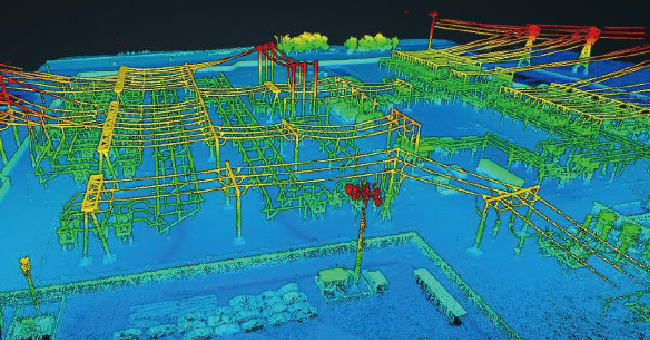
Tersus MVP400 Power Line Inspection for product parameter view

A Complete, Streamlined Solution

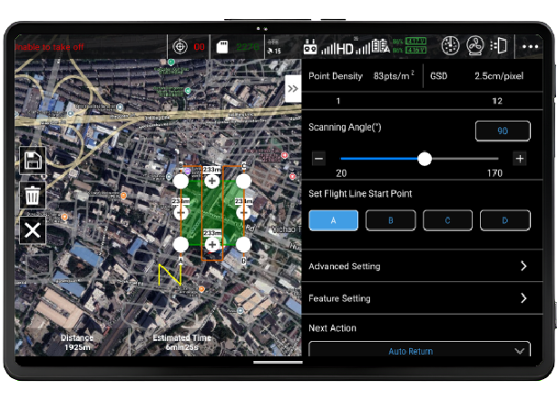
Tersus MVP400 Mission Plan for software workflow Tersus MVP400 Mission Plan for mobile software workflow

Mission Plan

MVP Pilot

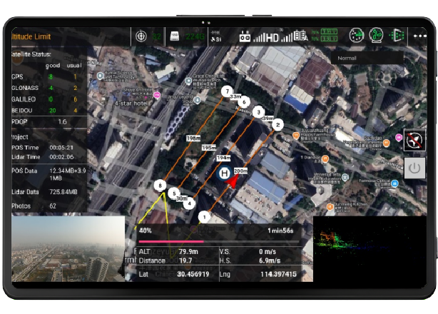
Tersus MVP400 Data Collection for software workflow Tersus MVP400 Data Collection for mobile software workflow

Data Collection

DJI with MVP Pilot

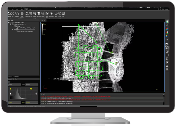
Tersus MVP400 Processing for software workflow Tersus MVP400 Processing for mobile software workflow

Processing

MVP studio

Capture Reality in High Definition

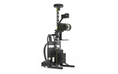
The Tersus MetaVerse Painter 400 (MVP 400) is engineered for professionals who demand both precision and efficiency. It integrates a powerful laser scanner capable of high pulse rates and multiple returns, a tightly coupled GNSS/INS navigation module, and interchangeable high-resolution cameras.
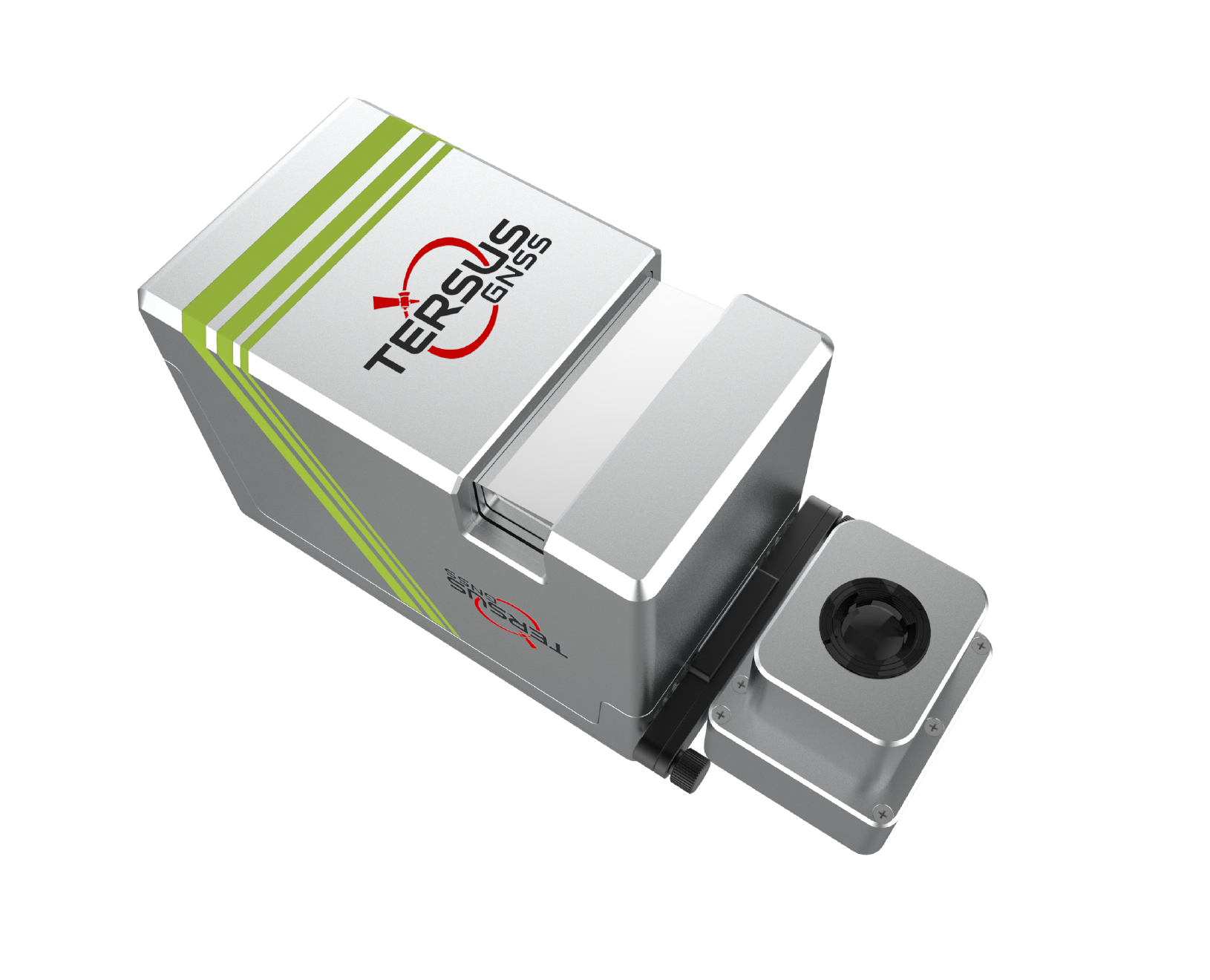
Tersus MVP400 compatibility visual for Capture Reality in High Definition
Documents
Sign up for free demo and trial
Sales Inquiry
* Request Type:
Product Information
Request a Quote
Product Information
Request a Demo
Find a Dealer / Contact Local Dealer
Technical Support
Become a Dealer / Distributor
Other
* First Name:
* Last Name:
* Email:
* Contact Method
Phone
Phone
WhatsApp
Company / Organization
Interested Product Category
Mobile Mapping System
GNSS OEM Boards
GNSS Smart Antennas
GNSS Sensors
GNSS Reference Networks
Mobile Mapping System
PPP Service
Marine System
Total Station
Precision Agriculture
Controllers
GNSS Antennas
Tersus Software
Accessories
Other / Not Sure
Application
Engineering Survey
Precision Agriculture and Machine Control
Autonomous Driving
Geospatial
Hydrographic Survey
UAV and USV
Research & Education
Other Industries
How did you hear about Tersus?
Online Search
Facebook
LinkedIn
Twitter
WeChat
TikTok
Industry Website Banner
Print Media
Newsletter
Trade Show
* Country:
* State / Province / Region
City
* Tell us about your needs