Site Layout
Transfer design positions to the field with GNSS and total station measurement workflows.


Connect site layout, stakeout, machine measurement, reality capture and as-built documentation across the construction lifecycle.
Positioning, stakeout, machine guidance, earthwork measurement and reality capture workflows for construction projects.
Transfer design positions to the field with GNSS and total station measurement workflows.
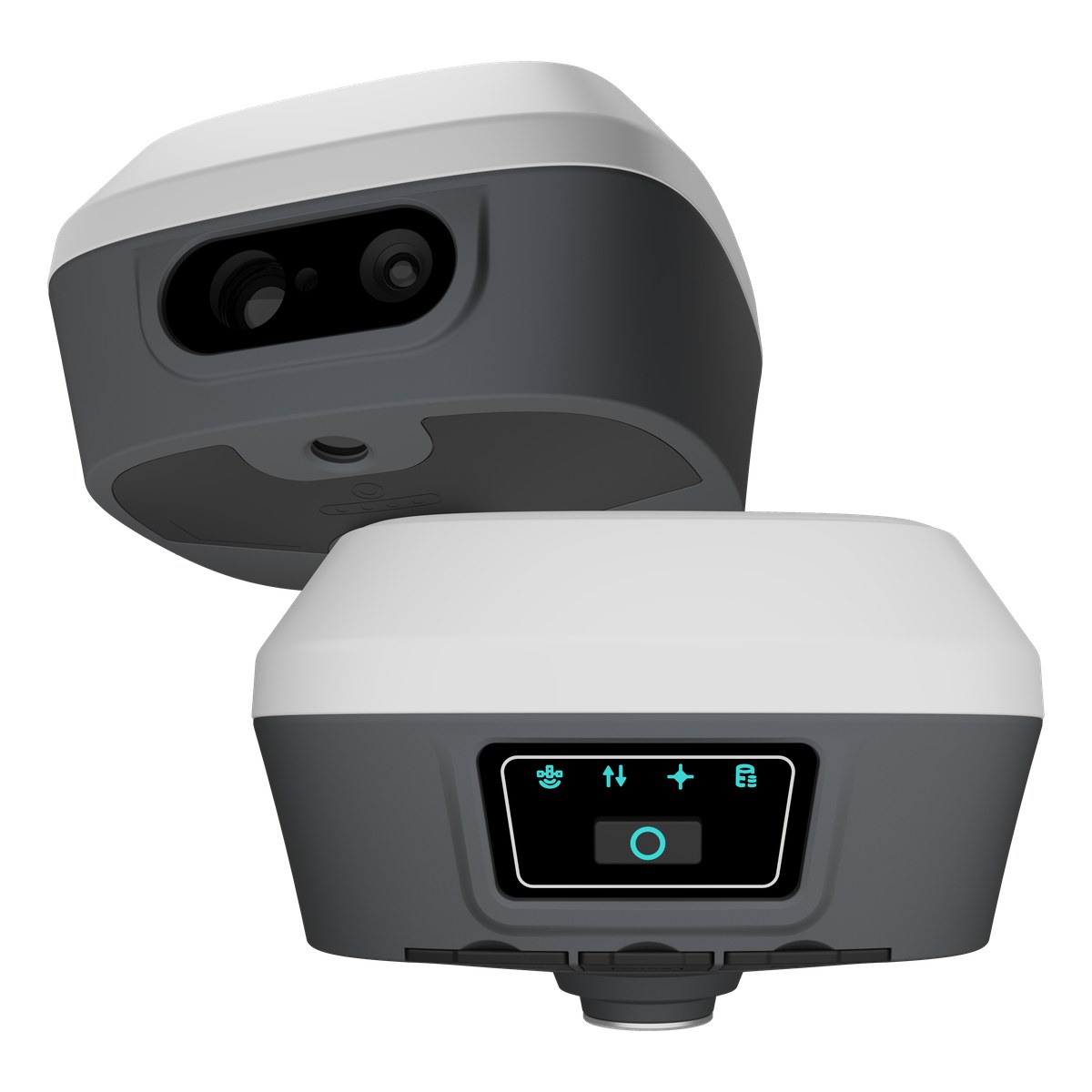
Use supported camera-assisted guidance to find and document stakeout positions in the field.
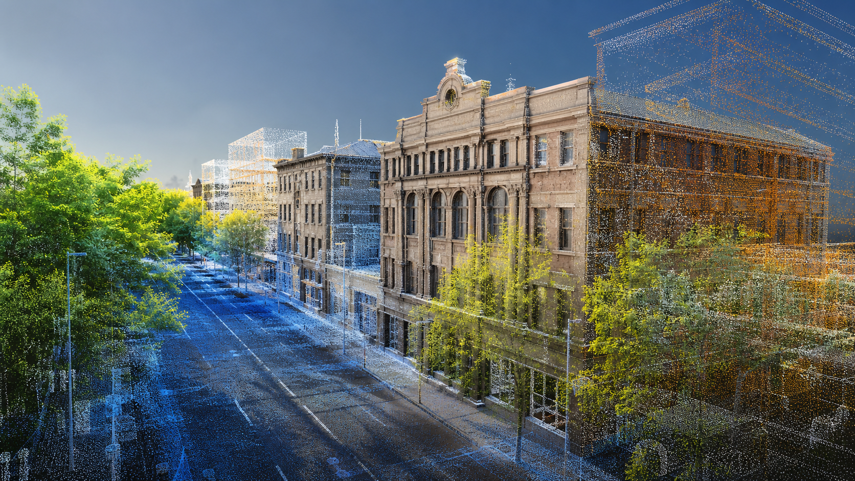
Measure terrain and material surfaces for volume checks, planning and project records.
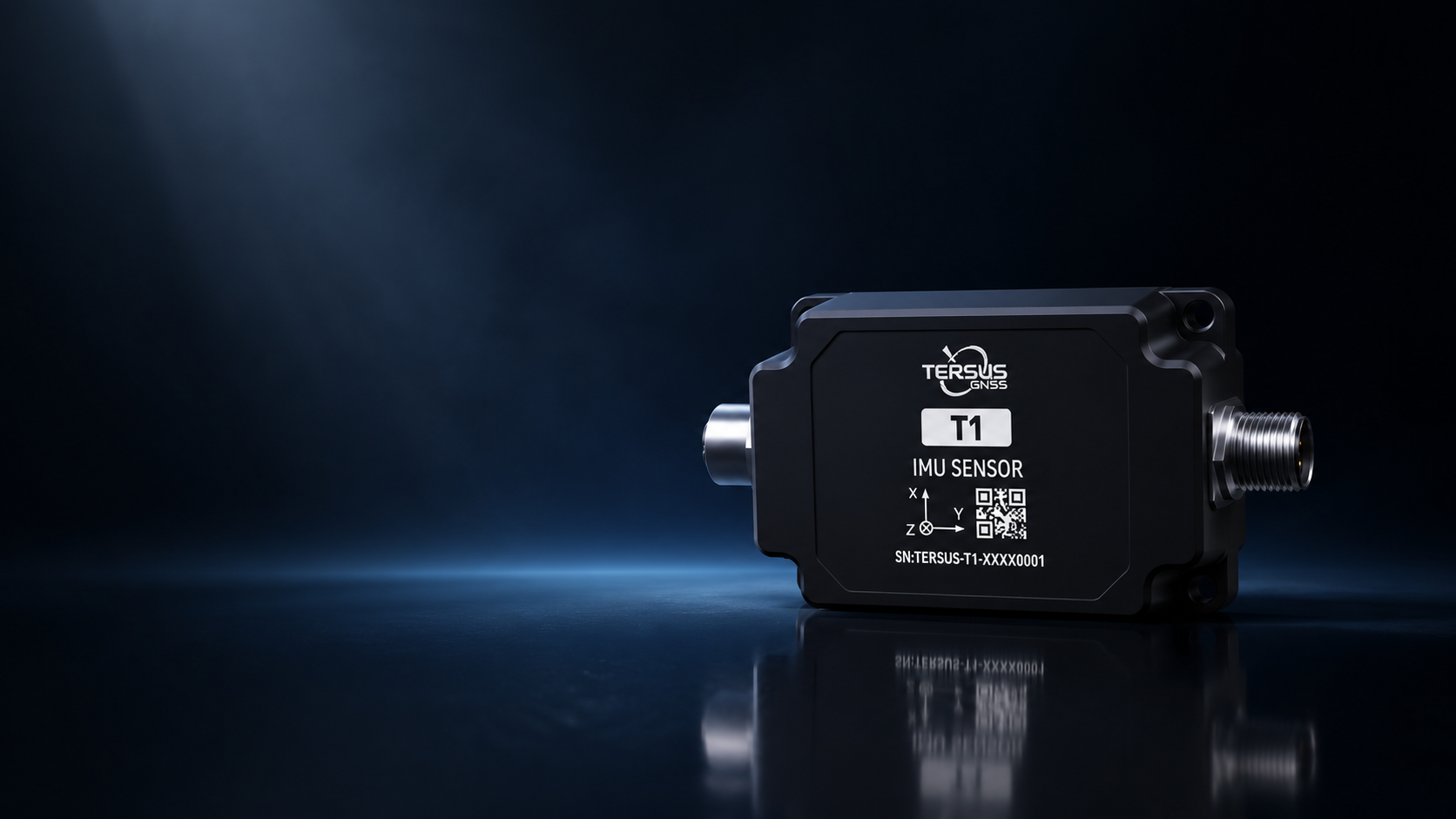
Integrate precise positioning and motion sensing into supported construction machine workflows.
Monitor machine orientation and grade-related movement with compact sensing components.
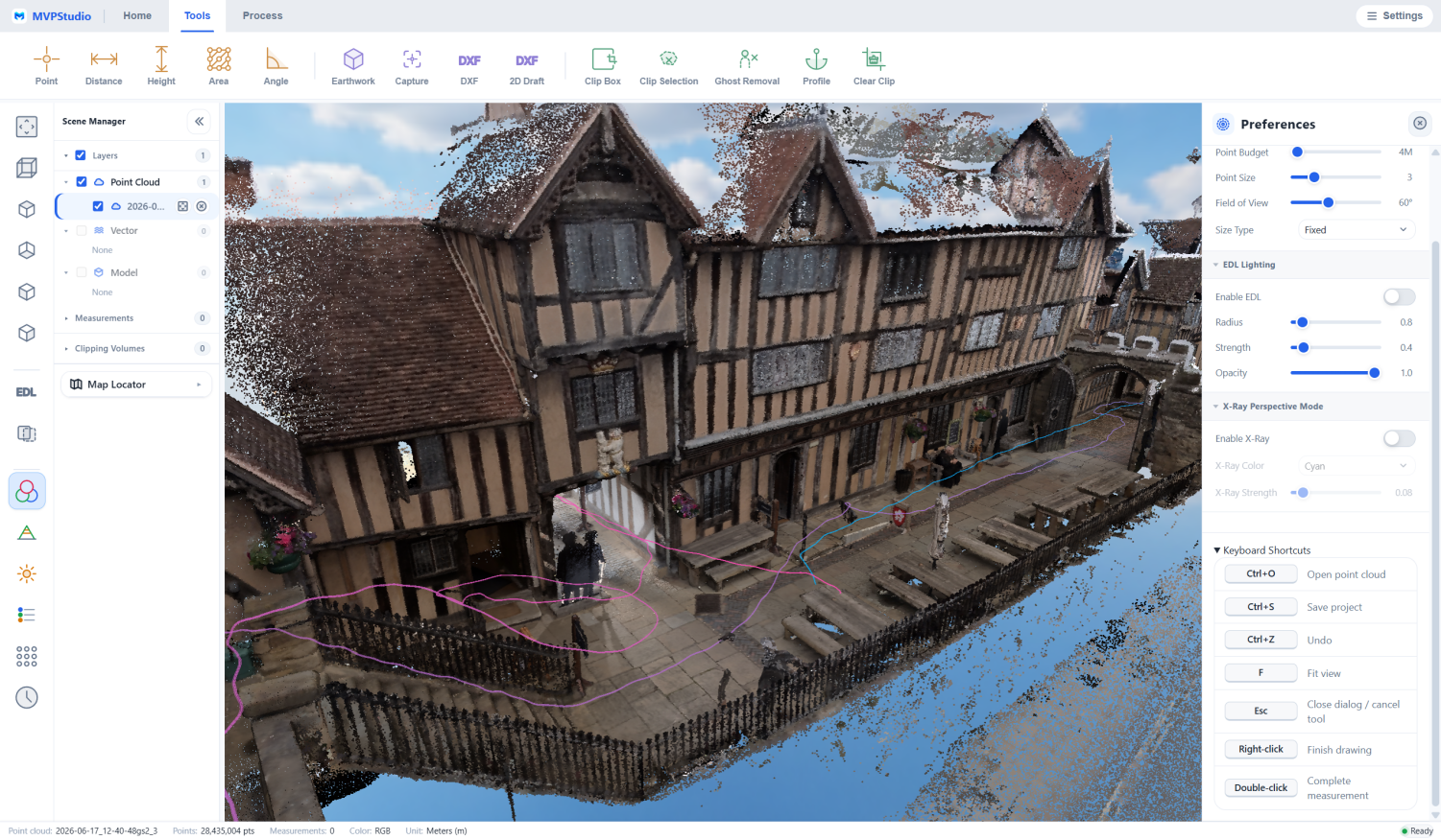
Capture completed conditions and prepare spatial records for comparison, handover and maintenance.
Repeat capture at project milestones to communicate change and support progress review.
Explore the receivers, sensors, field systems and software that support this workflow.
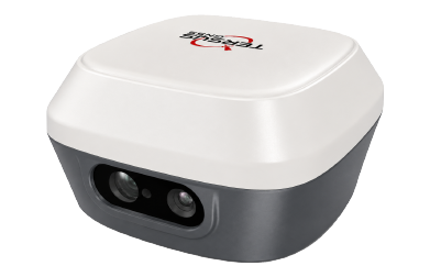 captuRTK™ TS30Visual & Laser GNSS receiver for RTK positioning, point cloud capture, AR stakeout, and Global TAP-supported field workflows.View Product
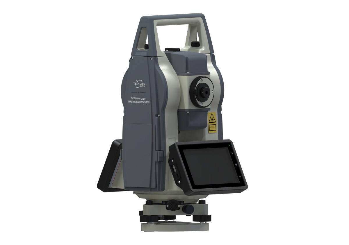
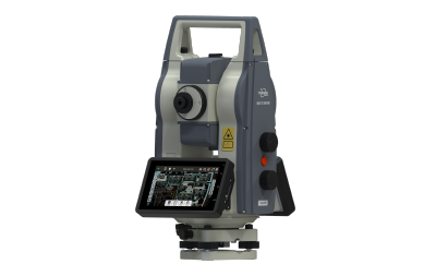 TAS Z6Robotic total station with Power Search, ATR, intelligent field software, and monitoring workflow support.View Product
T1Compact dynamic tilt measurement module designed for machinery control, robotics, monitoring, and rugged field applications.View Product
TAS Z6Robotic total station with Power Search, ATR, intelligent field software, and monitoring workflow support.View Product
T1Compact dynamic tilt measurement module designed for machinery control, robotics, monitoring, and rugged field applications.View Product
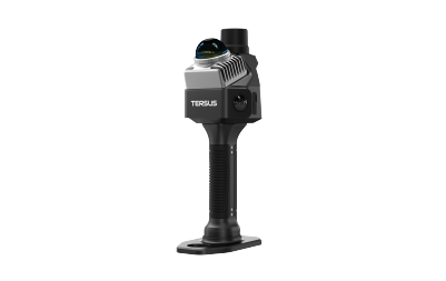 MVP S1Handheld SLAM ScannerView Product
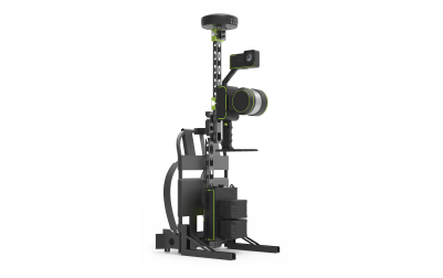 MVP S2Mobile SLAM 3D Laser ScannerView Product
Share your environment, accuracy needs and intended deliverable with our team.