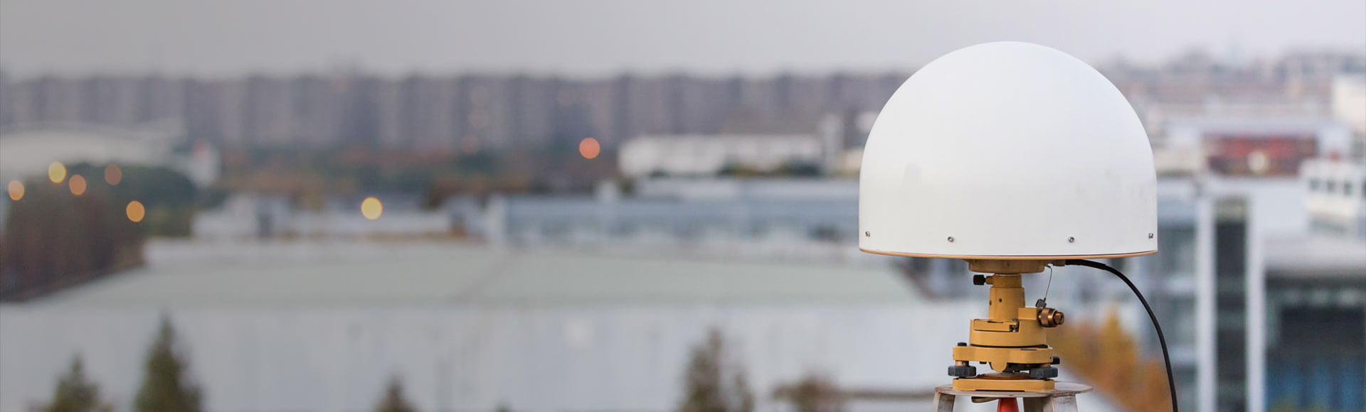
Cadastral & Boundary Survey
Establish control, measure boundary evidence and record coordinates for dependable cadastral fieldwork.

Connect survey control, field measurement, stakeout and office deliverables with precise GNSS, visual measurement and total station workflows.
Centimeter-accurate GNSS receivers, total stations and field software for cadastral, topographic and engineering survey workflows.
Establish control, measure boundary evidence and record coordinates for dependable cadastral fieldwork.
Capture ground detail, elevations and site features for mapping, design and engineering decisions.
Set out points, lines and design positions with GNSS or robotic total station workflows.
Measure hard-to-reach points and document field conditions with camera-enabled positioning tools.

Choose satellite positioning, optical measurement or a combined workflow to match the site and task.
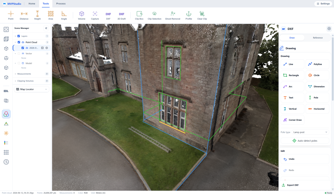
Organize observations and project data for downstream CAD, GIS and reporting workflows.
Explore the receivers, sensors, field systems and software that support this workflow.
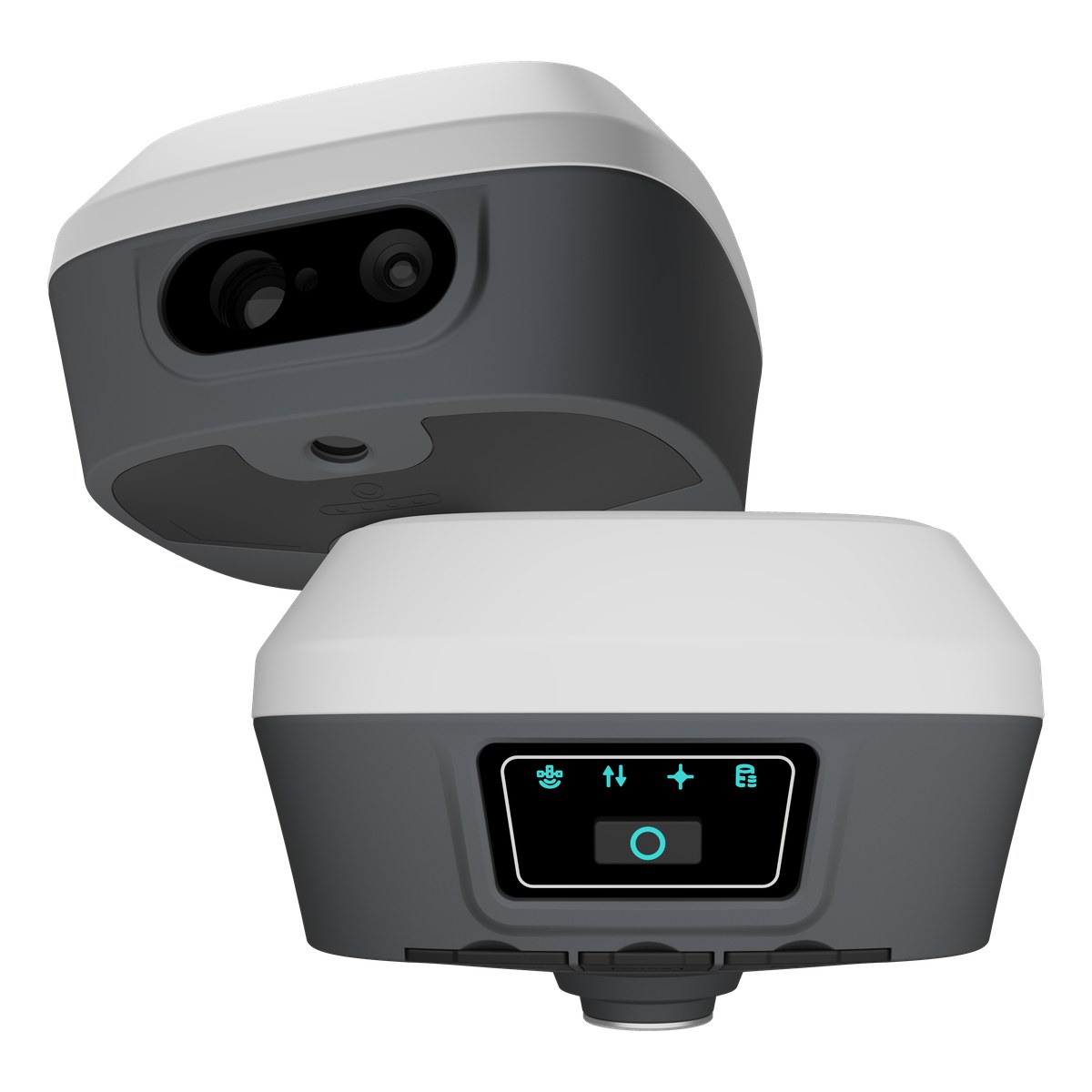
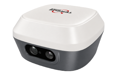 captuRTK™ TS30Visual & Laser GNSS receiver for RTK positioning, point cloud capture, AR stakeout, and Global TAP-supported field workflows.View Product
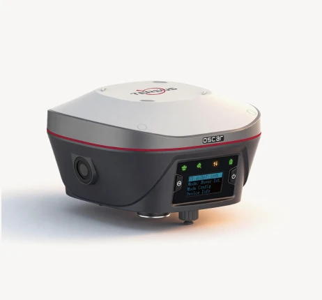
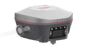 Oscar Trek GNSS ReceiverMeasure what you see
Accurate and easy to use
Multiple constellations & frequenciesView Product
Oscar Trek GNSS ReceiverMeasure what you see
Accurate and easy to use
Multiple constellations & frequenciesView Product
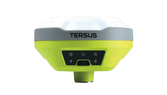 LUKA GNSS ReceiverSmall and light, easy to carry and operate
Supports 1568 channels
Tilt compensation without calibration
Built-in 7000mAh large capacity battery.View Product
LUKA GNSS ReceiverSmall and light, easy to carry and operate
Supports 1568 channels
Tilt compensation without calibration
Built-in 7000mAh large capacity battery.View Product
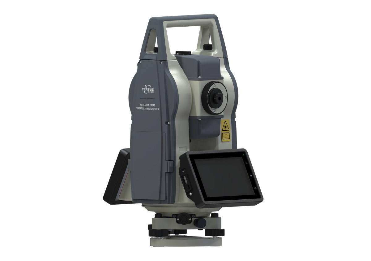
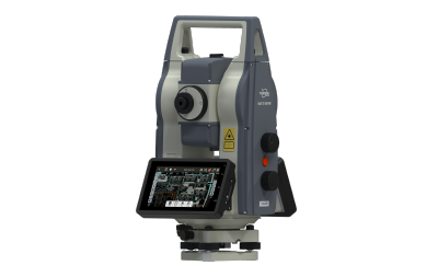 TAS Z6Robotic total station with Power Search, ATR, intelligent field software, and monitoring workflow support.View Product
Share your environment, accuracy needs and intended deliverable with our team.