Live Product Demonstrations
See complete surveying and mobile mapping workflows demonstrated in real-world operating scenarios.

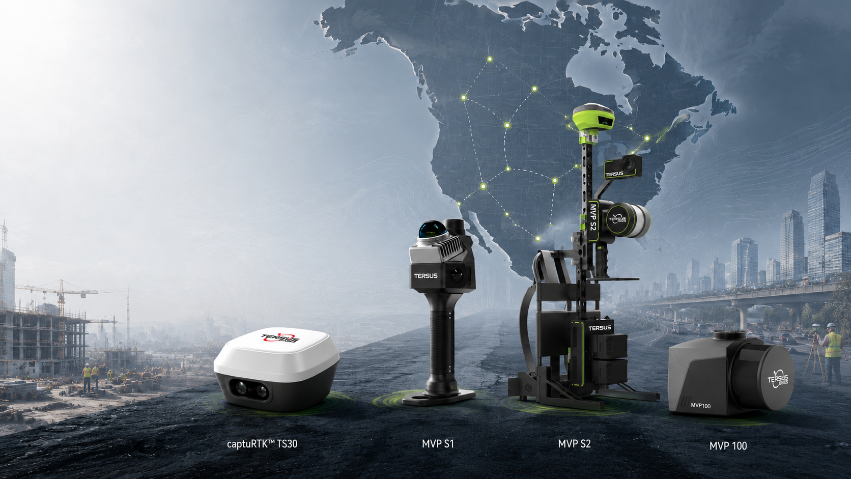
Experience Tersus surveying and mobile mapping technologies through live demonstrations, hands-on sessions, and direct discussions with our team.
The Tersus North America Roadshow 2026 is bringing our latest surveying and mobile mapping technologies closer to professionals across the United States and Canada.
Join the Tersus team for live product demonstrations, hands-on workflow sessions, and direct technical discussions. Whether you work in surveying, construction, infrastructure, mapping, utilities, or related geospatial applications, the roadshow is an opportunity to explore practical workflows and discuss your project requirements with our specialists.
Cities and exact dates will be announced based on regional demand. Register your interest and let us know where you would like to meet the Tersus team.
See complete surveying and mobile mapping workflows demonstrated in real-world operating scenarios.
Explore selected Tersus hardware and software solutions directly with support from our technical team.
Discuss accuracy, workflow, integration, data processing, and application requirements with Tersus specialists.
Help us identify the North American cities with the strongest demand by registering your preferred location.
The roadshow will visit selected cities across the United States and Canada in August 2026. Exact locations and schedules will be announced based on regional demand.
Register your interest and tell us your city. Our team will contact you when a nearby roadshow stop is confirmed.
An advanced GNSS RTK rover combining visual measurement, laser ranging, AR stakeout, and on-site point cloud capabilities.
Learn more →A compact handheld SLAM mobile mapping system designed for efficient indoor and outdoor spatial data capture.
Learn more →A high-efficiency mobile mapping solution for capturing large-scale indoor and outdoor environments.
Learn more →A versatile LiDAR mapping system supporting UAV, vehicle-mounted, and handheld data acquisition workflows.
Learn more →Tell us where you are located and which Tersus solutions you would like to experience. We will contact you when roadshow details are confirmed for your region.